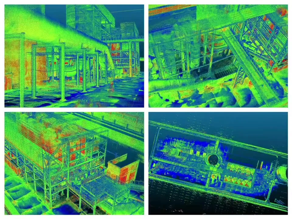
Handheld SLAM 3D Scanners
Portable LiDAR systems for surveying, mapping, point-cloud capture, and 3D documentation.
Compare Pentra, Radix & Staris →
Spatial Measurement and Intelligent Inspection
Capture, measure, model, and inspect complex environments with portable LiDAR systems for surveying, digital twins, infrastructure documentation, and underground asset inspection.
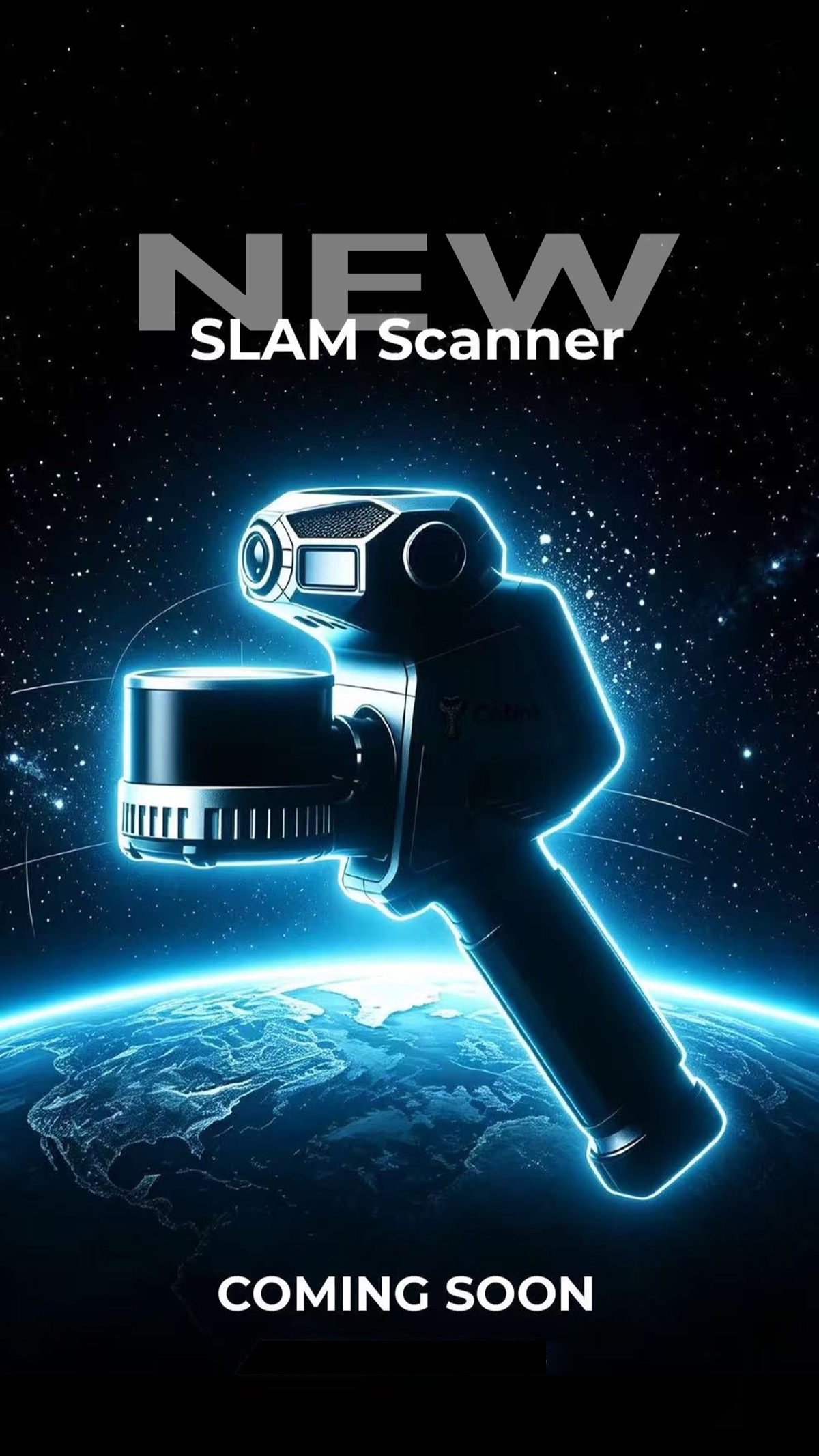
Choose the right workflow
Handheld scanners support portable spatial capture. The MX-100 is a dedicated manhole inspection and reporting system.
Portable LiDAR systems for surveying, mapping, point-cloud capture, and 3D documentation.
Compare Pentra, Radix & Staris →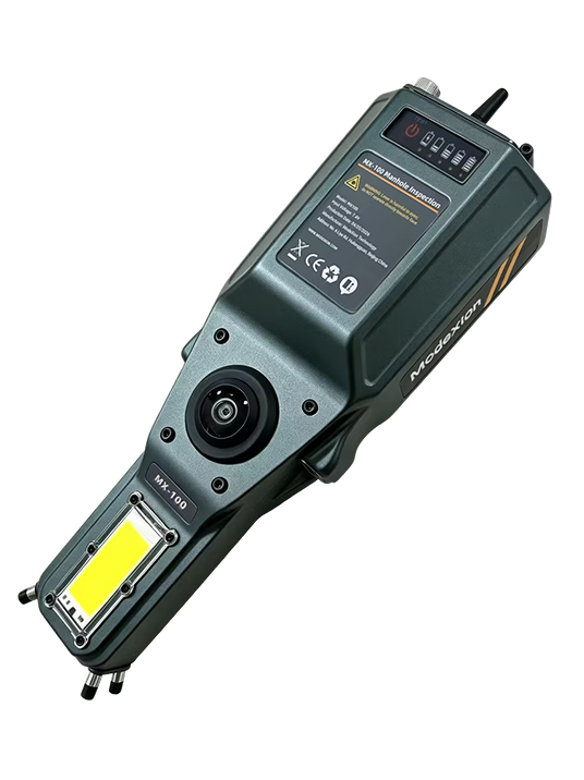
A dedicated workflow for imagery, 3D reconstruction, measurement, point-cloud output, and reporting.
Explore MX-100 →Core capabilities
Collect spatial data across indoor, outdoor, and complex environments.
Preview and process colorized point clouds for measurement and review.
Create mesh-ready and digital-twin-ready spatial outputs.
Move from manhole imagery and reconstruction to structured review and reporting.
Shared workflow
Each product follows a defined field-to-output workflow. Automation supports the process without replacing professional review.
Real outputs
Evaluate ModeXion through colorized point clouds, mesh models, coordinates, inspection imagery, measurement records, and reports.
View Product Videos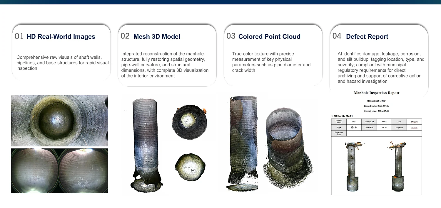
Handheld model preview
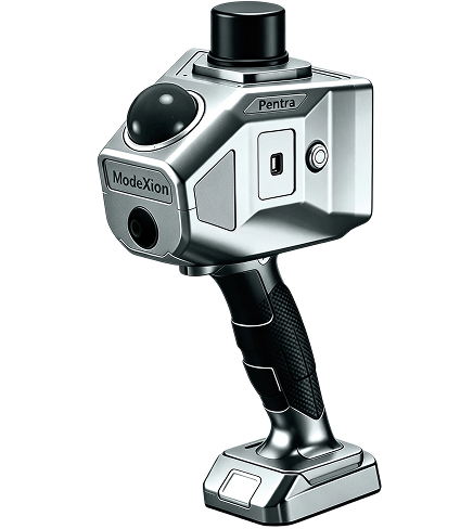
Balanced handheld SLAM 3D scanner
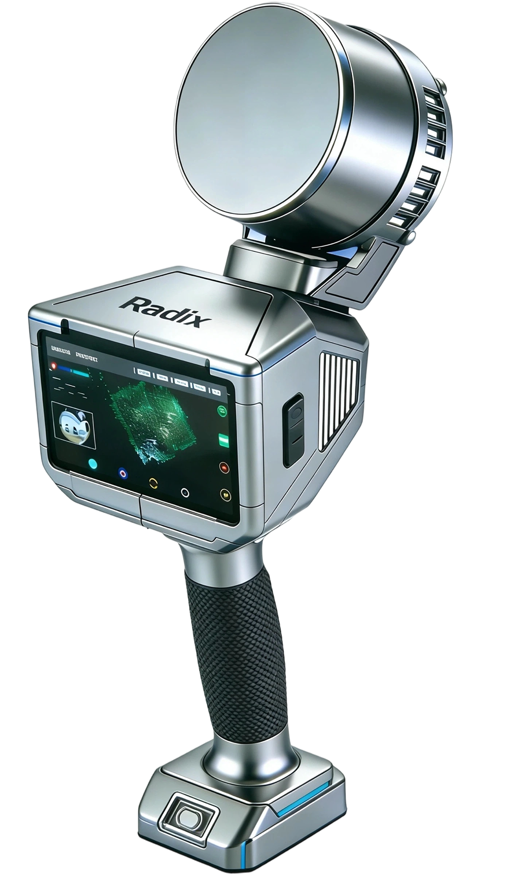
High-density 360° handheld SLAM 3D scanner
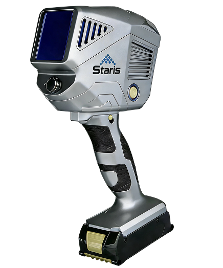
Long-range handheld LiDAR scanner
Built for technical evaluators
Portable mapping with field preview and post-processing.
Alignment of geometry, motion, and visual data.
Supported outputs for measurement, mapping, and digital twins.
Review and documentation support for validated inspection workflows.
Who ModeXion serves
Evaluate the right system
ModeXion can help you compare the appropriate product family and workflow.