
Technology foundation
LiDAR, SLAM, sensor fusion, point clouds, 3D modeling, and AI-assisted inspection.
Understand how the technology supports capture and processing—without turning technical components into unsupported outcome claims.
LiDAR & SLAM
Portable mapping depends on both distance measurement and continuous localization.
Explore technology →Multi-Sensor Fusion
Align geometry, motion, and visual context on a shared timeline.
Explore technology →Point Clouds & 3D Modeling
Move from raw capture to measurable spatial deliverables.
Explore technology →AI-Assisted Inspection
Use computational review to support—not replace—professional judgment.
Explore technology →Data Formats & Compatibility
Choose a workflow based on the deliverables your team actually needs.
Explore technology →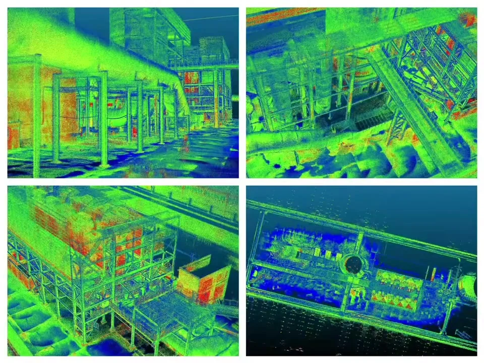
From sensing to output
The value is in the full workflow.
Distance measurements, motion estimation, visual alignment, post-processing, measurement, and export must work together to produce usable spatial data.