
Field story · Underground infrastructure · Digital twins
Turning an Underground Garage into a Smart Digital Asset
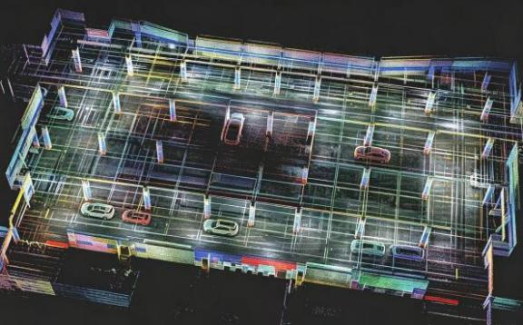
SLAM LiDAR scanning, dense colorized point clouds, and 3D Gaussian Splatting created a measurable digital foundation for parking operations, facility inspection, renovation planning, and campus digital twins.
The challenge
Underground spaces are essential—and often poorly documented.
Parking garages support daily access, vehicle circulation, security, and facility operations. Yet many sites still rely on incomplete drawings, disconnected asset records, and manual inspection. Low light, repetitive geometry, occlusions, and dense overhead infrastructure also make underground environments difficult to document with conventional photography alone.
Incomplete spatial records
Parking layouts, equipment locations, and infrastructure changes may not be captured in one current reference.
Inefficient inspection
Teams spend time locating fire-protection, ventilation, lighting, camera, and utility assets in the field.
Difficult capture conditions
Dark areas, repeated textures, columns, vehicles, and overhead services complicate conventional modeling.
Digital-twin gaps
Campus platforms remain incomplete when underground spaces are missing from the spatial dataset.
Field capture
SLAM scanning across the complete garage.
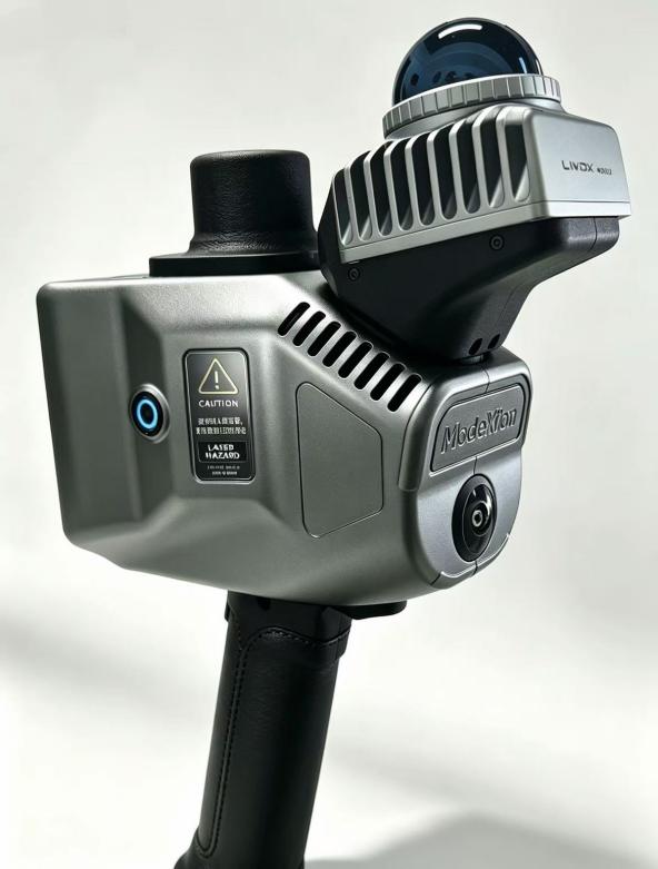
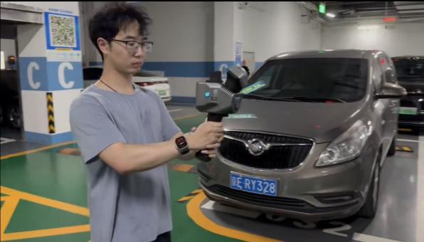
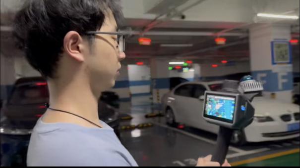
A handheld LiDAR scanner used real-time simultaneous localization and mapping to capture circulation lanes, parking-space markings, columns, walls, fire-protection equipment, ventilation ducts, speed bumps, wheel stops, cameras, lighting, and other visible infrastructure.
The source project reports overall relative accuracy of less than 1 cm. That result provides a strong basis for measurement and review, subject to normal project-specific control checks and professional validation.
Project workflow
From field capture to an operational spatial model.
The workflow combined geometric capture with high-fidelity visualization so teams could use the result for both measurement and contextual review.
Traverse the garage with handheld SLAM.
Build a connected spatial dataset.
Create a dense colorized point cloud.
Apply 3D Gaussian Splatting for visual fidelity.
Measure, inspect, plan, and integrate.
Project results
A measurable point cloud and a high-fidelity visual model.
The dense colorized point cloud preserved physical structure and scale. A 3D Gaussian Splatting workflow then improved visual continuity in the garage’s low-texture environment, making lighting, structural depth, vehicles, columns, and overhead systems easier to interpret.
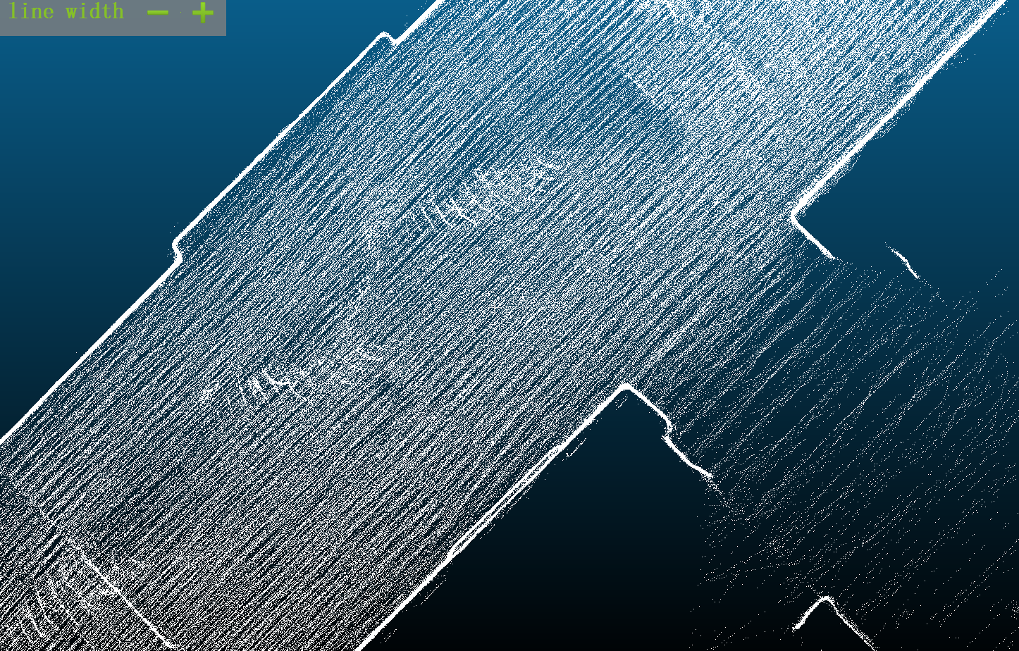
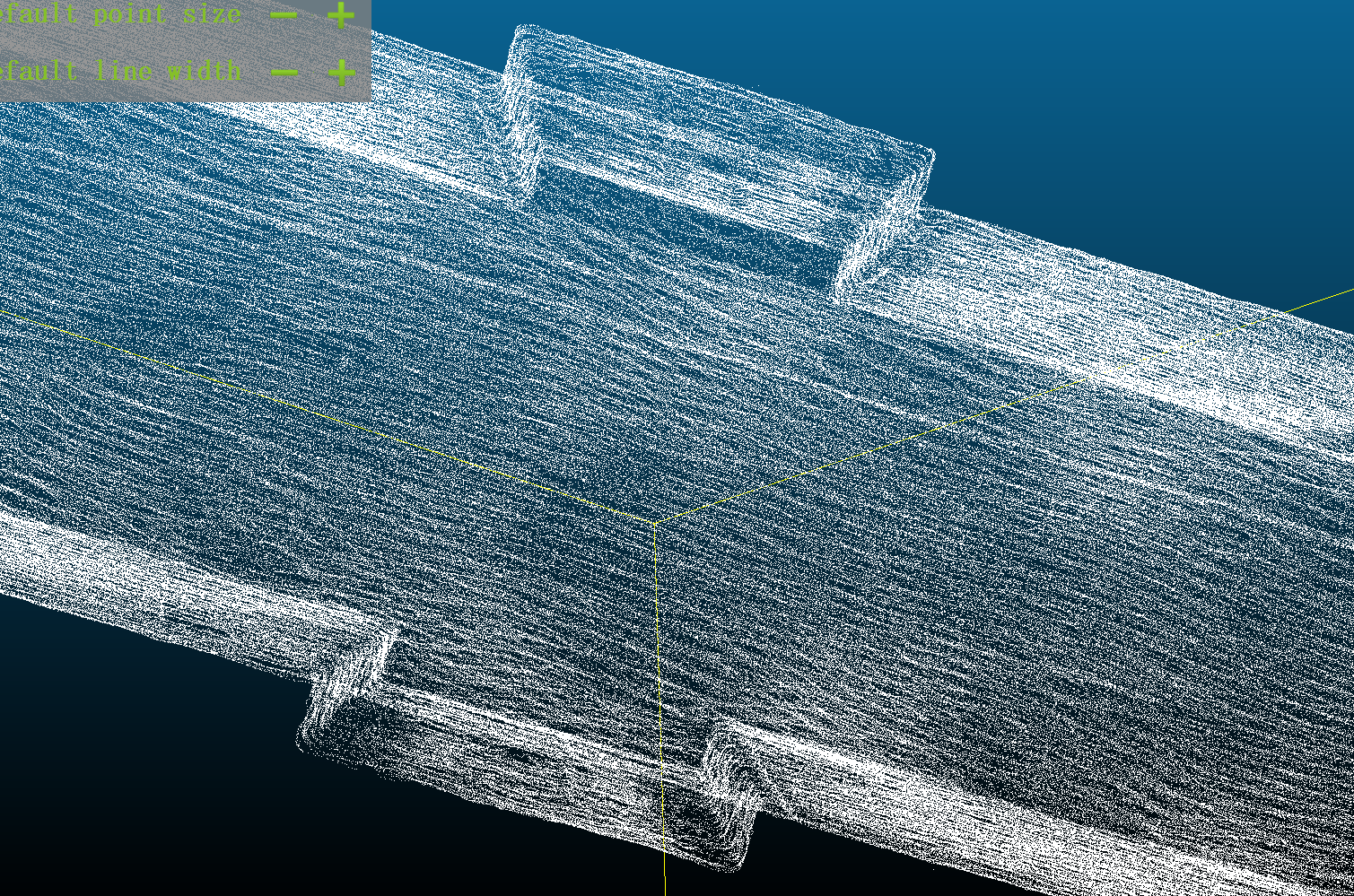
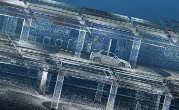
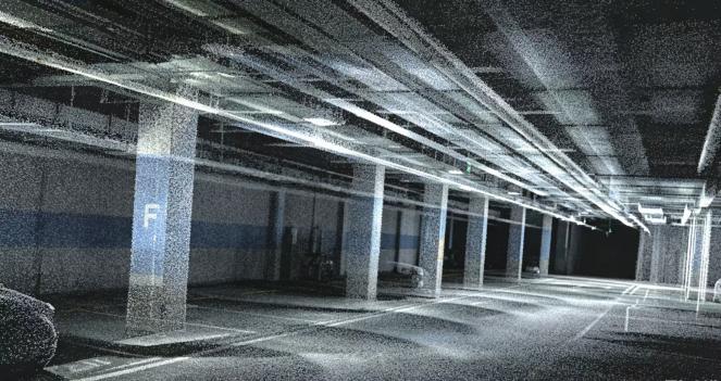
Reported accuracy and completeness should be confirmed against the control, tolerance, and deliverable requirements of each project.
Practical applications
One spatial dataset, four operational uses.
The model is more than a visualization. It can organize existing conditions and support the teams responsible for parking, infrastructure, renovation, and campus-level digital twins.
Application 01
Smart parking inventory and circulation
Build a digital inventory of standard, nonstandard, available, and restricted spaces. Use the geometry to review circulation, parking layouts, wayfinding, and future parking-system integration.
- Parking-space and restricted-zone records
- Vehicle-route and wayfinding review
- Foundation for guidance and vehicle-location workflows
Application 02
Facility operations and inspection
Locate fire-protection, ventilation, lighting, monitoring, and utility assets in spatial context. Teams can use the model to support remote review, field planning, issue location, and asset-record updates.
- Infrastructure location and context
- Inspection and maintenance planning
- Faster communication of problem locations
Application 03
Renovation and space planning
Use the existing-condition model when evaluating garage refurbishment, equipment additions, circulation changes, or facility upgrades. Measurements can inform planning before teams return to the site.
- Existing-condition measurements
- Clearance and installation review
- Design coordination and visual evaluation
Application 04
Campus digital-twin integration
Add the garage to a broader campus spatial platform so aboveground and underground assets can be reviewed in one environment. The model helps close a common gap in campus digitization.
- Aboveground and underground context
- Reusable spatial baseline
- Future monitoring and system integration
Source-project result for the complete garage scan.
Dense colorized point-cloud data and a high-fidelity 3DGS representation.
Digitize the spaces below your site
Build a reliable spatial foundation for smarter operations.
ModeXion supports portable LiDAR workflows for underground facilities, existing-condition documentation, infrastructure review, renovation planning, and digital-twin development.