
Case Study · Industrial Facilities · 3D Scanning
From Legacy Facility to Digital Asset: 3D Scanning for Industrial Modernization
ModeXion used handheld LiDAR scanning and high-resolution 3D reconstruction to document an aging industrial facility in Yingkou, China—creating measurable spatial data for maintenance, renovation planning, and long-term facility documentation.
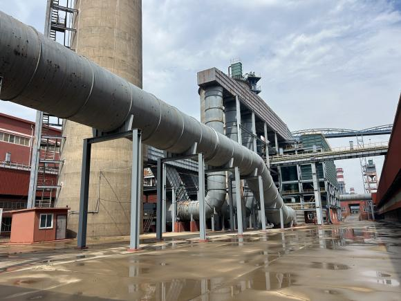
Project overview
Converting incomplete facility records into measurable 3D data.
Challenge
Missing drawings, complex piping, undocumented changes, and difficult-to-access areas made conventional surveying and renovation planning less efficient.
Approach
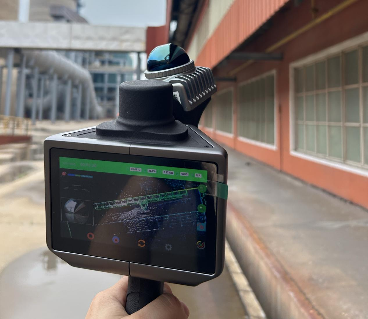
Handheld LiDAR scanning was used across indoor, outdoor, equipment-dense, and constrained areas of the industrial facility.
Deliverables
High-resolution colorized point clouds and Gaussian-based 3D model data created a measurable representation of existing conditions.
Scale
More than 100,000 m² of industrial space was scanned during the digital documentation project.
The challenge
Modernizing a facility without complete existing-condition data.
Aging industrial facilities rarely remain exactly as they were originally designed. Equipment is replaced, piping is rerouted, structures are modified, and maintenance work accumulates over decades.
At the Yingkou facility, incomplete original drawings and a complex physical environment created several practical challenges for inspection and renovation planning.
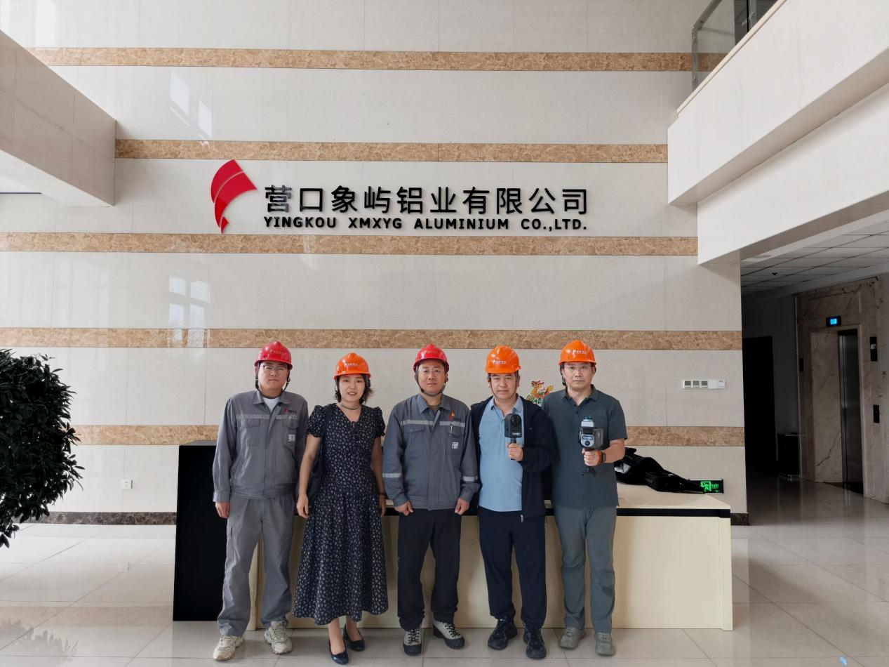
The capture workflow
Rapid spatial documentation across a complex industrial environment.
ModeXion used a handheld LiDAR scanning workflow to capture spatial information throughout the facility. The portable system could move through areas that are difficult to document efficiently with conventional stationary or manual measurement workflows.
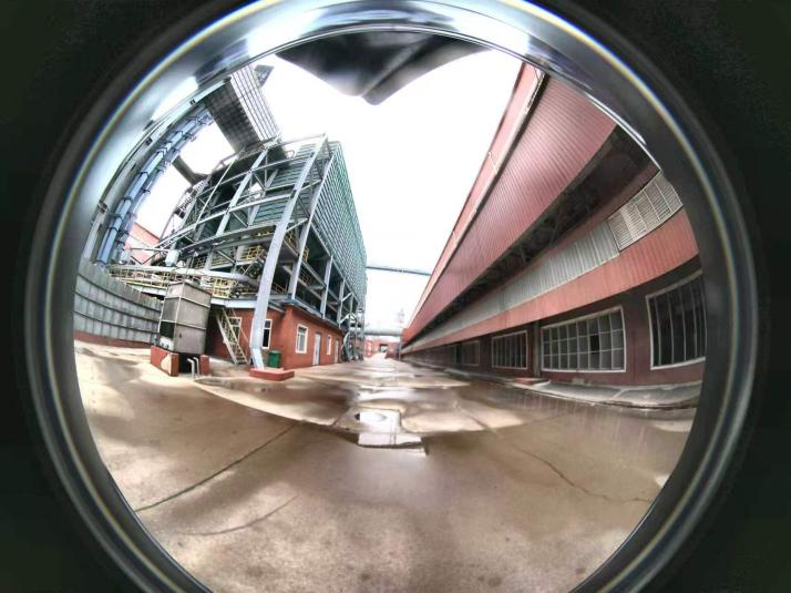
Facility structure
Capture walls, floors, structural geometry, and surrounding spatial relationships.
Steel frameworks
Document structural members and their relationship to equipment and surrounding infrastructure.
Industrial piping
Capture pipe routing, connections, clearances, and difficult-to-measure sections.
Equipment layouts
Record installed machinery and existing infrastructure as part of the broader spatial environment.
From scan to model
Turning raw spatial capture into a measurable digital facility.
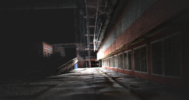
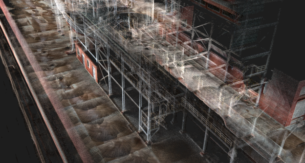
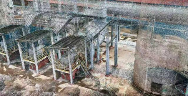
The captured data was processed into high-resolution colorized point clouds and Gaussian-based 3D model outputs that reproduced the facility's existing physical conditions.
The model preserved important details such as the overall facility structure, industrial pipe routing, equipment placement, wall deterioration, aging coatings, and visible pipe corrosion.
Instead of relying only on photographs, paper drawings, or disconnected measurements, project teams gained a unified 3D representation that could be reviewed, measured, and referenced throughout the renovation process.
Learn About Point Clouds & 3D Modeling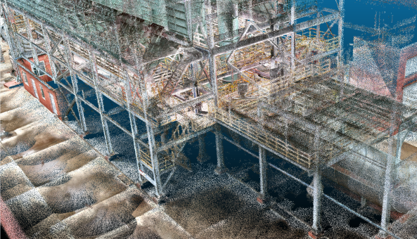
Digital workflow
Capture → Process → Reconstruct → Measure → Review → Apply
A structured scan-to-deliverable workflow connects field capture with practical engineering and maintenance applications.
Practical applications
The 3D model supported more than visualization.
Once the existing facility had been digitally reconstructed, the spatial data could support real maintenance and renovation decisions.
Application 01
Maintenance and Retrofit Planning
The completed 3D model gave project teams a more complete view of existing conditions before beginning maintenance or renovation work.
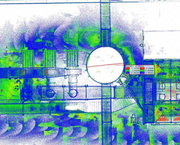
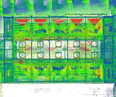
The spatial data could support investigation of structural deformation, aging pipelines, concealed damage, equipment maintenance requirements, structural reinforcement, and component replacement.
The practical benefit is straightforward: teams can plan from documented spatial conditions rather than relying exclusively on incomplete drawings or repeated manual measurement.
Application 02
More Accurate Renovation Quantity Estimates
A particularly practical use case involved the facility's pipe repainting and corrosion-protection work.
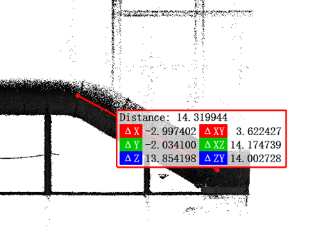
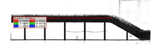
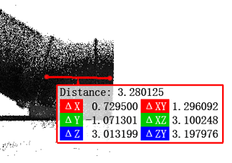
The 3D model could be used to measure overall pipe surface area and difficult-to-access sections before work began.
This provided a stronger basis for estimating coating requirements, material quantities, and the overall renovation scope while reducing dependence on manual approximation.
Project results
More than 100,000 m² of industrial space digitally captured.
The project produced high-resolution spatial deliverables that could support both the immediate renovation effort and future facility documentation.
Long-term value
More than a one-time scan—a reusable digital asset.
One of the strongest benefits of facility-scale 3D documentation is that the data can continue providing value after the original renovation project is complete.
Facility expansion
Reference existing conditions before planning new construction or modifications.
Equipment upgrades
Review available space, equipment relationships, and surrounding infrastructure.
Maintenance planning
Review documented site conditions before returning teams to the field.
Digital-twin workflows
Use measured spatial data as a foundation for digital-twin-ready documentation and future updates.
Digitize your existing facility
Turn existing conditions into actionable 3D data.
Whether your project involves renovation, facility documentation, maintenance planning, measurement, or digital-twin development, ModeXion can help evaluate the appropriate LiDAR capture workflow.