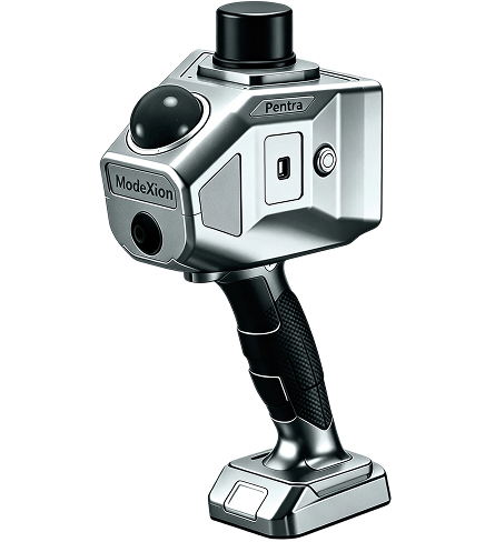
Pentra
A balanced portable option when broad coverage, manageable weight, and practical indoor/outdoor range are central to the workflow.
View Pentra
Portable LiDAR mapping
Capture indoor and outdoor environments with real-time point-cloud preview, post-processing, 12 MP visual capture, and multiple spatial-data outputs.
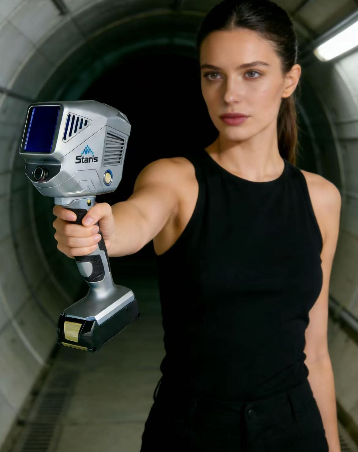
Pentra balances portability and broad coverage. Radix emphasizes dense 360° capture and range. Staris emphasizes extended reach and battery duration.
A balanced portable option when broad coverage, manageable weight, and practical indoor/outdoor range are central to the workflow.
View Pentra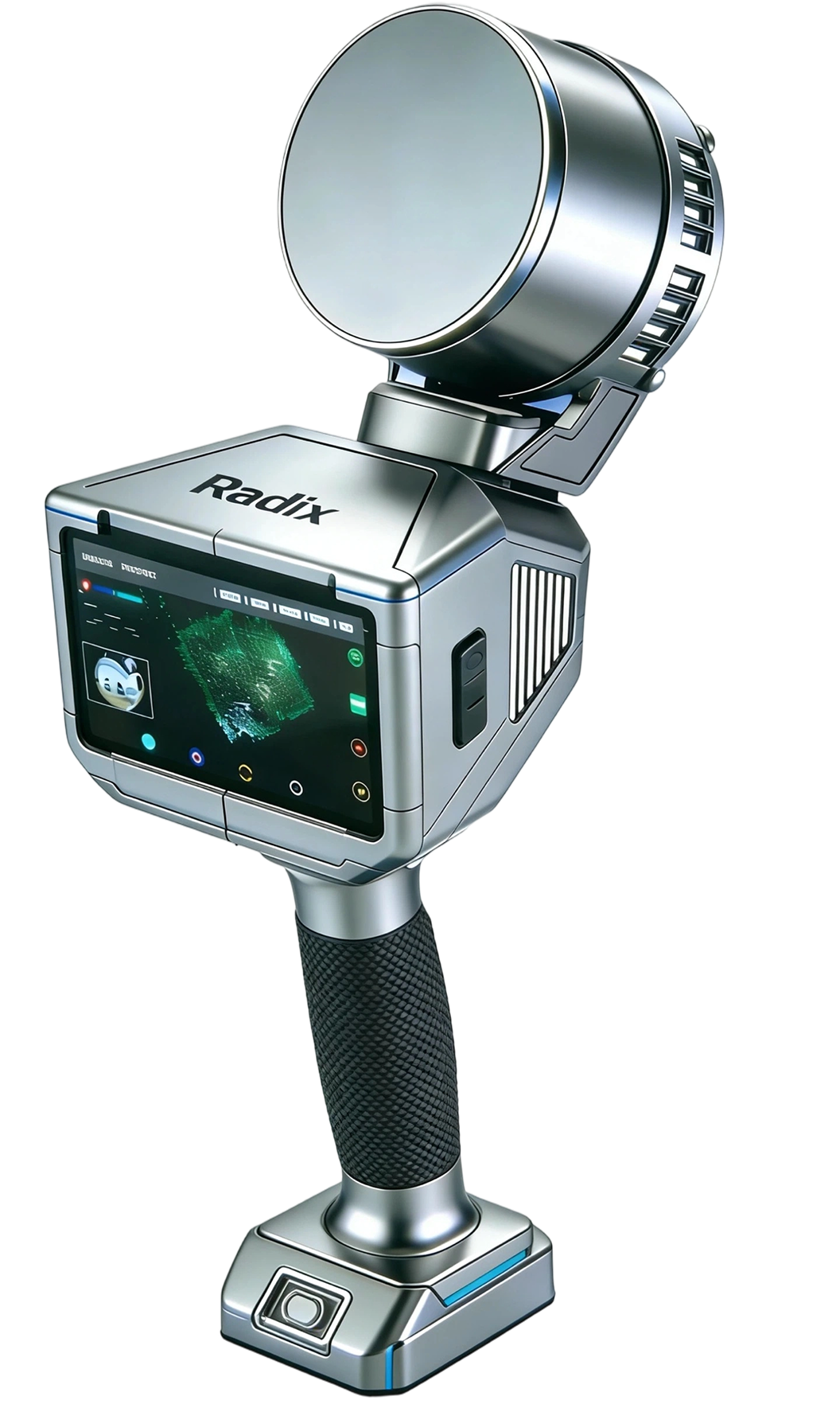
Designed for evaluators who need comprehensive 360° coverage, longer range, and a high point rate. Point rate should be assessed alongside environment, workflow, and accuracy requirements.
View Radix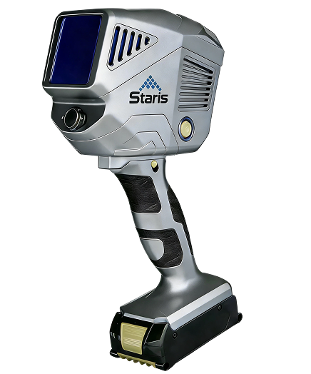
Best evaluated for long-range and large-scale capture. The 450 m range applies at 80% reflectivity and should not be generalized to all surfaces or conditions.
View StarisReal-time point-cloud preview in supported handheld workflows.
Align LiDAR geometry with 12 MP visual capture.
CFexpress 128 GB standard, expandable to 1 TB.
Process field data into point clouds, maps, coordinates, and models.
Field-to-deliverable
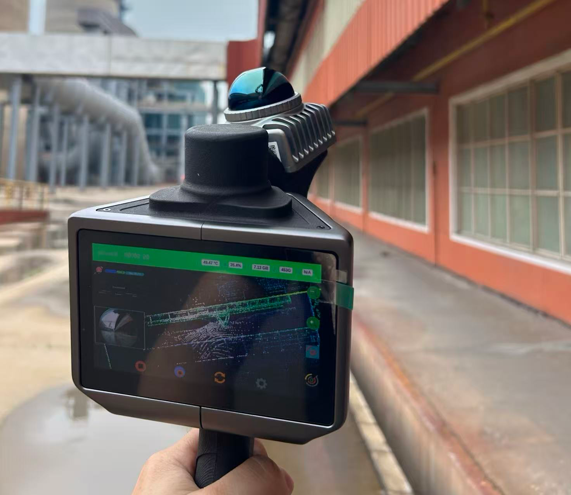
The 5-inch AMOLED field interface supports task management and point-cloud preview without requiring a phone connection. Final deliverables are created through the supported post-processing workflow.
Understand point-cloud processing →Validate direct compatibility with your downstream software before procurement.